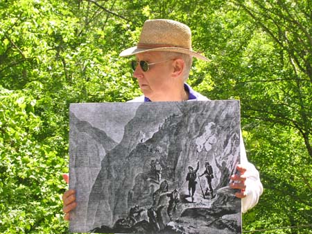
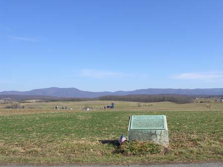
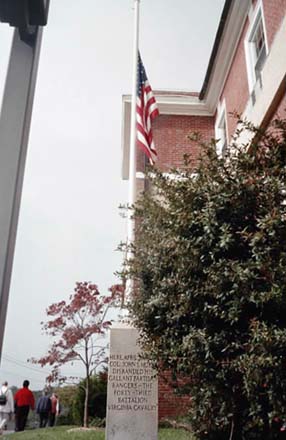
Professor Poland devotes an extraordinary amount of effort to pack education into his history field trips. In addition to research, he makes many flip charts and maps, plus he and his wife traverse the entire route ahead of time in order to scout out suitable locations for stops and short hikes.
Here we see a chart listing estimates of the number of partisans or guerrillas in the American Civil War. (Click on the image to see it larger.) And then we have one of his maps, this one dealing with McNeill's Rangers and plans to attack the B&O Railroad. The illustrations depict John "Hanse" McNeill, Brig. Gen. John Daniel Imboden, Maj. Gen. Thomas Lafayette Rosser and Harry Gilmor.
The professor always cautions us that his maps are "not to scale."


 Our first field trip of the season ended at the Paw Paw Tunnel on the C&O Canal in Maryland. We walked slightly over a half-mile from the parking lot.


 by Ronald S. Coddington.
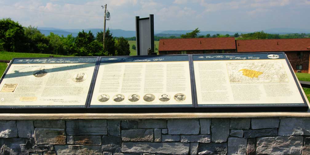


 by Rusty Williams. I received my complimentary copy a few days ago. (Thanks, Rusty!)